
The Role of GIS and Remote Sensing in Agriculture Information Systems
In large-scale agriculture, the decisions you make are only as good as the data you have. And when your operations span multiple locations, supply chains, and partners, knowing what’s happening in each area, and acting on it in time, becomes critical.
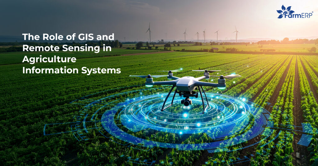
This is where technologies like GIS and remote sensing are transforming the game. No longer limited to research labs or satellite agencies, these tools are now helping agribusinesses monitor fields remotely, detect problems early, and improve productivity with location-based intelligence.
1. Why Spatial Data Matters in Agribusiness
Agriculture is deeply rooted in geography. Soil types vary by region. Rainfall doesn’t fall evenly across fields. Pests might appear in one corner and spread quietly. Without spatial context, raw numbers can mislead you. That’s why visualising data through maps and real-time imagery is becoming a must-have.
For agribusinesses managing thousands of plots or hundreds of outgrowers, relying on periodic field reports or basic logs is no longer enough. Decision-makers need accurate, timely, and geo-referenced data to plan, prioritise, and allocate resources better. This is exactly what GIS and remote sensing deliver.
2. Understanding GIS and Remote Sensing
Let’s unpack what these tools actually do.
- GIS (Geographic Information Systems) helps collect, store, and analyse spatial data. It links every data point to a physical location, whether it’s crop variety, input usage, yield levels, or pest activity. The result is a map-based, visual format that’s easier to interpret and act on.
- Remote sensing captures information about the land from a distance, using satellites, drones, or aerial cameras. This data can show changes in crop health, soil moisture, vegetation growth, and more, without needing someone on the ground to report it.
These technologies often work hand in hand. GIS gives structure to your data, and remote sensing keeps it up to date with fresh, field-level insights.
3. The Role of GIS in Agriculture
The role of GIS in agriculture extends far beyond drawing boundaries. It provides the spatial backbone for almost every farm management decision. Here’s how agribusinesses are using GIS today:
- Land Mapping: Define and digitise farm boundaries, segment plots, and map land ownership
- Zoning and Analysis: Group fields by soil type, irrigation access, or crop variety to plan better
- Activity Planning: Align operations with topography and weather patterns for optimal timing
- Risk Management: Track disease or pest outbreaks spatially to contain spread
- Regulatory Compliance: Keep records of protected zones or conservation areas
With GIS, field data becomes more structured, auditable, and actionable.
4. Practical Applications of Remote Sensing in Agriculture
Remote sensing in agriculture gives you a real-time lens into what’s happening across your farms, without having to rely only on physical site visits. Agribusinesses are leveraging it for:
- Vegetation Health Monitoring: Satellite imagery detects crop stress early through NDVI and other indices
- Yield Estimation: Analyse canopy cover and growth patterns to forecast output
- Drought and Water Stress Analysis: Use thermal data to monitor water use and improve irrigation plans
- Disaster Impact Assessment: Post-storm or flood, quickly evaluate field damage without sending teams
- Input Efficiency: Understand where fertilisers or pesticides are under or over-applied
Drones add another layer of detail, providing hyperlocal views and even thermal insights for high-value crops or research trials.
5. How Businesses Benefit from Remote Sensing and GIS in Agriculture
When implemented together, remote sensing and GIS in agriculture unlock operational value across the board:
| Benefit Area | Impact |
| Planning & Forecasting | More accurate land-use planning and harvest predictions |
| Input Optimisation | Targeted nutrient or pesticide application saves cost and avoids waste |
| Early Problem Detection | Spot disease or drought stress before it spreads or escalates |
| Traceability & Compliance | Geo-referenced data supports audits, certifications, and export protocols |
| Reduced Field Visits | Lower operational costs and improved response times in remote areas |
| Climate Resilience | Monitor long-term changes in soil and vegetation to plan adaptively |
These benefits are especially important when operating across fragmented geographies, managing large teams, or working with smallholder networks.
6. Integrating These Tools into Your Agriculture Information System
The real power of GIS and remote sensing is unlocked when they’re embedded within your agriculture information management system. Rather than using separate tools or manual processes, integration brings spatial data into your day-to-day decision-making framework.
A platform like FarmERP does exactly this. It connects remote sensing feeds and GIS layers directly to operational modules like crop planning, procurement, quality control, and finance. Managers can track plot-wise performance, overlay field data with satellite updates, and trigger timely alerts for underperforming zones, all from one central dashboard.
This integration ensures spatial insights don’t sit in isolation, but actively shape business outcomes.
7. Final Thoughts
GIS and remote sensing are no longer future technologies. They’re already reshaping how smart agribusinesses operate, from daily decision-making to long-term planning. When used well, they make operations more visible, predictable, and resilient, especially at scale.
And with a solution like FarmERP, you don’t have to build this ecosystem from scratch. You get spatial intelligence, business logic, and on-ground connectivity in one platform.